
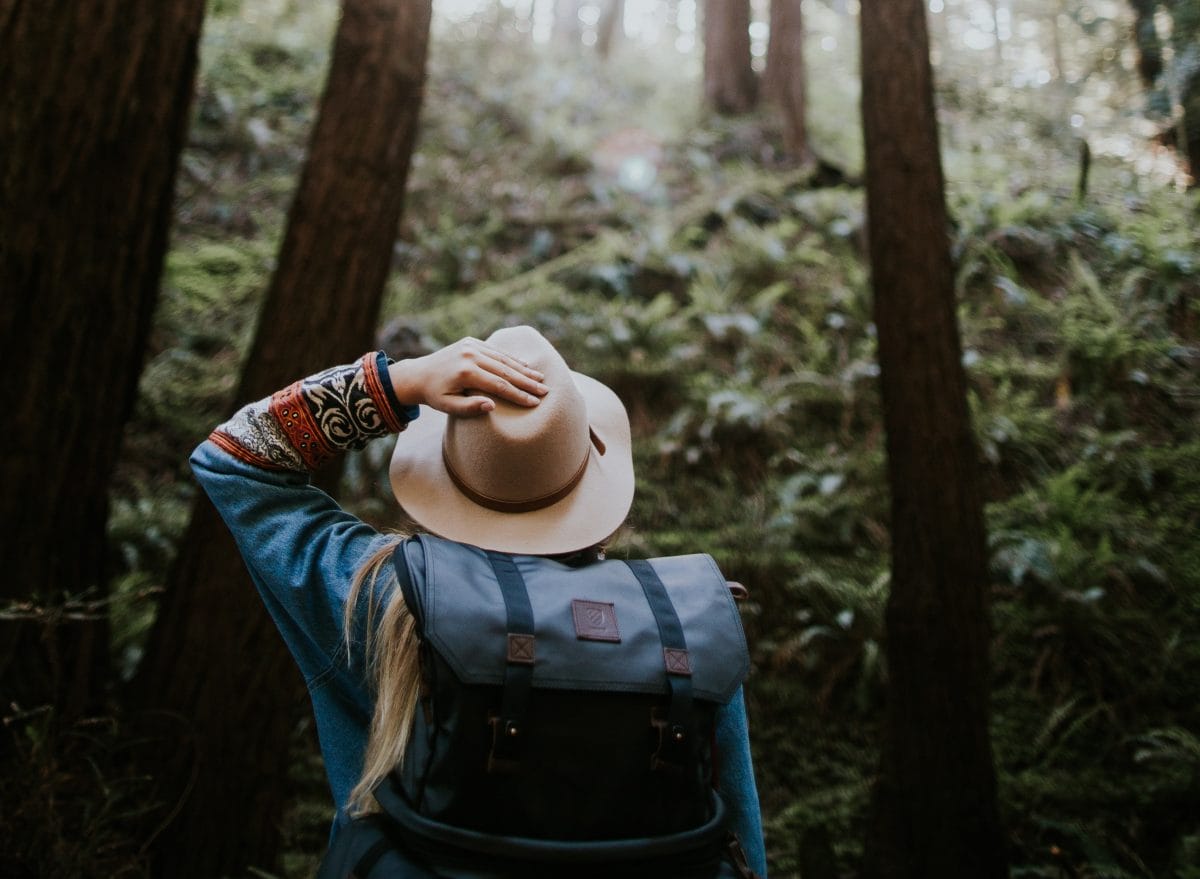
Spring has arrived in full, glorious splendour in the Harrison River Valley. The forests are buzzing and budding with awakening and activity and are calling you to explore! There’s no better way to get outside for some exercise than on a hike; and here in the Harrison River Valley, you’ll find a wide diversity of hiking trails to choose from. Whether you’re seeking trails as easy as a stroll in a park; as difficult as a steep and strenuous climb; or something in between, you’ll find it here. But no matter how diverse the trails, they all have something in common: wondrous views, mountain fresh air, and a chance for epic adventure! Here’s a sampling of some of our hikes that delight! Click here for our full Harrison River Valley Trail Guide.
AGASSIZ/DISTRICT OF KENT
Embraced by the grand Coast and Cascade mountains and the mighty Fraser River, you’ll find several trails, from easy strolls through wetlands to challenging mountain-top hikes. Here are two to get you started:
GREENPOINT TRAIL – Easy
1.3 km | 20 min. | Out & Back
This flat trail is suitable for all skill levels, and winds its way around the lake, through forests, and features a few beach stops to check out along the way. This short trail begins at the north side of Greenpoint Day Use Area and travels through the forest behind Greenpoint. Once you reach the road, we recommend using the trail to return to Greenpoint. Directions: 7552-7562 Rockwell Dr. Agassiz.
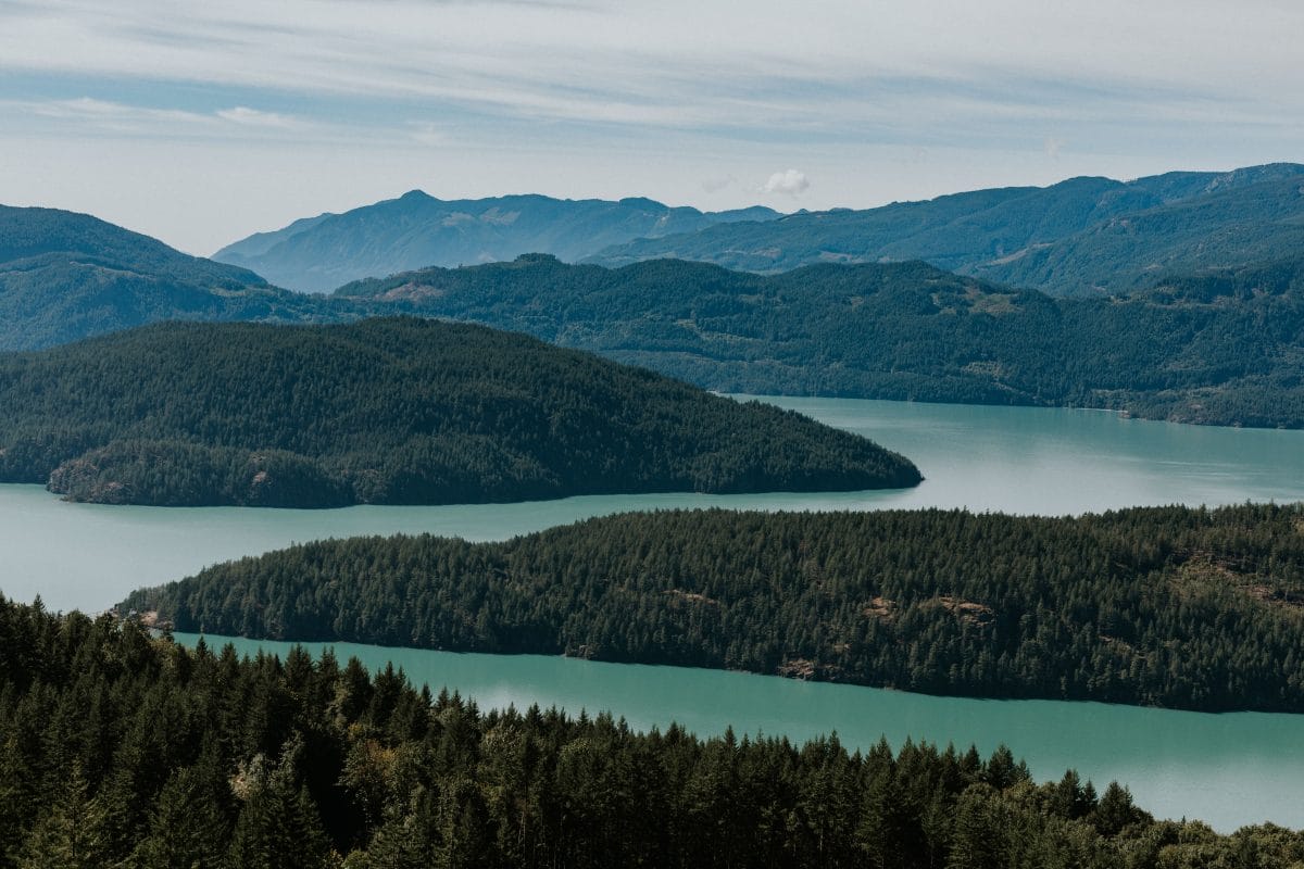
SLOLLICUM PEAK – Difficult
13.2 km | 5-6 hrs. | 1169m Elevation Gain | Out & Back
Recommended for experienced hikers, this long and challenging hike offers spectacular panoramic views at the summit and along the ridgeline approach. Directions: Head north on Hot Springs Road, then turn right on Lillooet Ave. Continue as it becomes Rockwell Drive, and drive 5.2 km where you’ll take a slight right onto Hicks Lake Rd. In 1.2km, take a slight left onto Harrison East FSR. Drive for 4.8km until you reach Slollicum Creek FSR.
HARRISON HOT SPRINGS
Nestled against Southwestern BC’s magnificent mountains and sandy beaches of Harrison Lake, Harrison Hot Springs is the crowning jewel that offers a great variety of outdoor activities. Try these hikes:
SPIRIT TRAIL – Easy
1.1km | 30 min. | Loop Trail
This short walk winds through a scenic cedar forest. What makes this trail magical is the dozens of hand-crafted masks that adorn several trees along the way. These were donated by a local artist. How many will you spot? Directions: Head south of Harrison Lake on McCoombs Drive
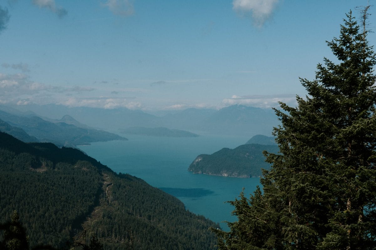
HARRISON GRIND (Campbell Lake) – Difficult
11.4km | 5-6 hrs. | 850m Elevation Gain| Out & Back
As it winds its way up Agassiz Mountain, this trail travels through a wide variety of terrain and sharp grades. At the top you’ll be met with dazzling views of Harrison Lake and the rivers and mountain ranges that surround it. From here you can continue to a small and tranquil lake known as Campbell Lake. Directions: Drive down Hot Springs Road until you are at Balsam Avenue on your right. Park at the turnout to your left; the trailhead is here.
HARRISON MILLS & HEMLOCK VALLEY
This region is known for its pristine yet rugged wilderness. Here’s a few trails you’ll enjoy:
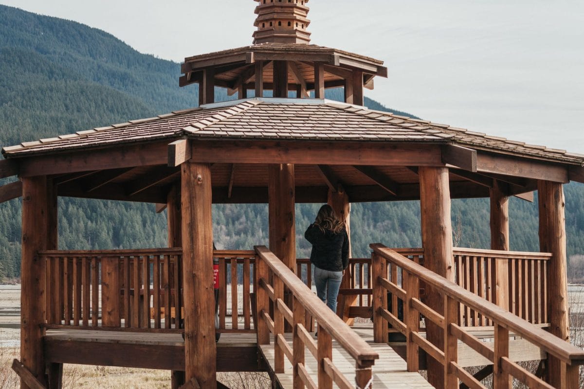
EAGLE INTERPRETIVE TRAIL, SANDPIPER – Easy
1.3km | 30 min. | Loop Trail
This trail makes its way through the Sandpiper Golf Course, in old-growth forest, across a stream, to a wildlife viewing gazebo. After your walk, enjoy a delicious lunch at The River’s Edge Clubhouse Restaurant.
DENHAM’S TRAIL – Weaver Lake Trail – Moderate
7.4 km | 2.5 hrs. | 255m Elevation Gain | Loop Trail | Parking Fee
This loop trail circles Weaver Lake and features beautiful moss and lichen covered trees and lake views. Directions: Head south of Harrison Hot Springs on Highway 9 toward Agassiz. At stop sign, straight on BC Route 7 for 14.9 km. Turn right onto Sts’ailes FSR and right onto Morris Valley Rd. In 12.6km turn left toward Weaver Lake Campground. In 2.4km, the trailhead is on your right.
EXPLORE MORE
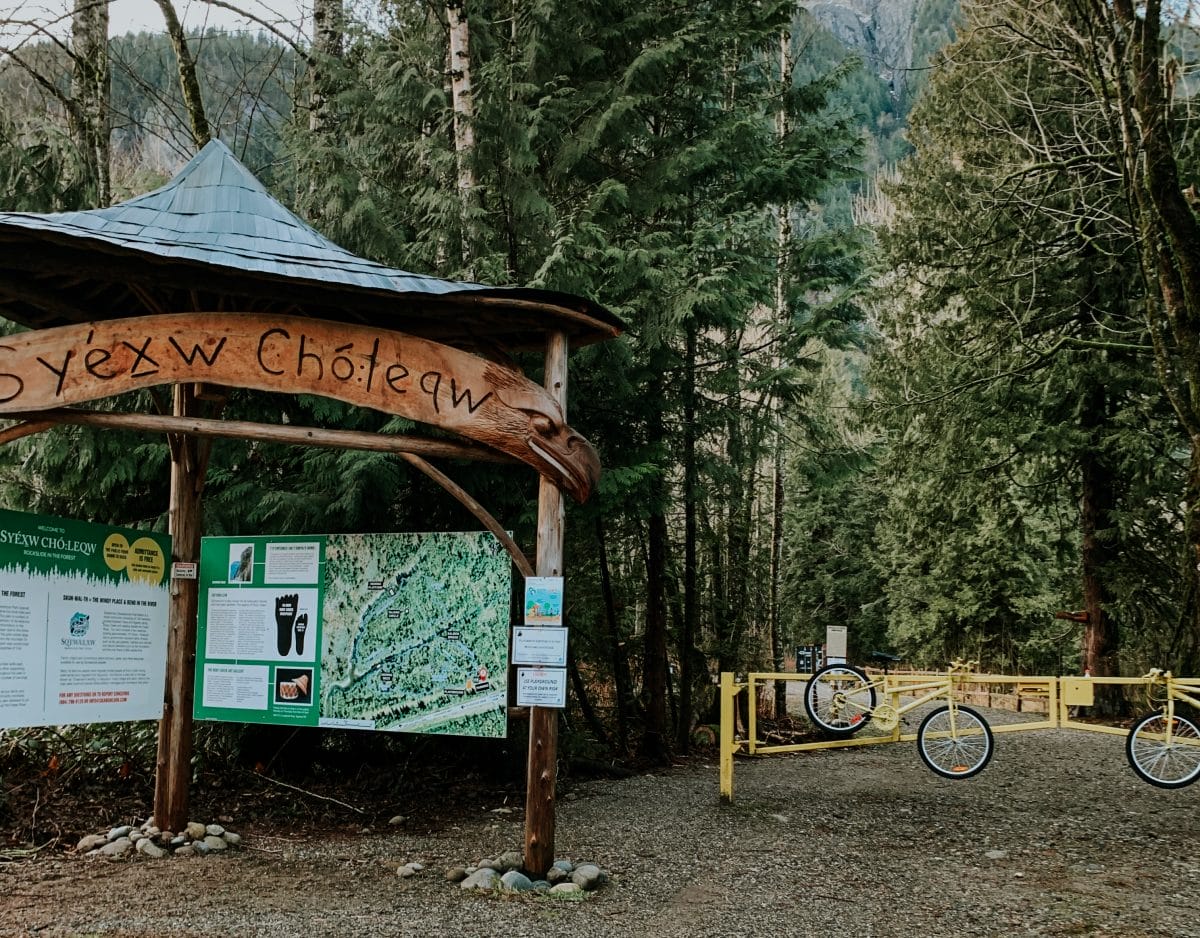
Syéxw Chó:leqw Adventure Park
located on the traditional land and territory of Sq’ewá:lxw First Nation, this park features 4km of walking and biking trails, a bike skills park, 90,000 sq. ft playground, and dozens of beautiful carvings.
Cheam Lake Wetlands Regional Park
This 93 hectare park is the perfect stop for a picnic, leisurely walks, and birdwatching.
Bridal Veil Falls
A short, 10-minute hike takes you to the spectacular waterfall. Lovely day-use area with picnic tables.
Enjoy your hike (and all the health benefits that come with it)! Learn more about hiking in the Harrison River Valley here. For more information on this, or other activities and sights to see in the Harrison River Valley, visit us at the Visitor Centre at 499 Hot Springs Road, or follow us on Facebook or Instagram. Share your hiking adventures in the Harrison River Valley with us by tagging your photos with #BreatheInTheWild.